Fitness required: Suitable for most fitness levels.
Gradient: Flat
3 km return via same track
Image gallery
Video
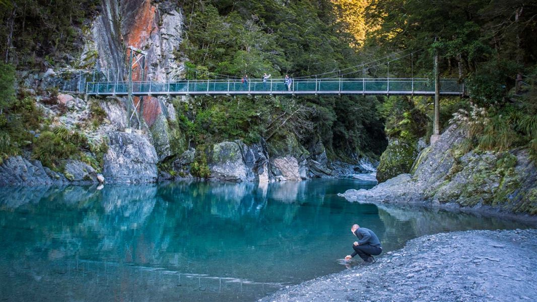
An easy short walk through mature beech and podocarp forest leads to these natural wonders of pure glacial water gathered from the mountains. Travel through open flats for spectacular mountain views and enjoy the coolness of the beech forest to a swing bridge over the Makarora River.
Continue on a boardwalk to the second swing bridge, which is the viewing platform over the Blue Pools. Cross this bridge for great views up the river gorge.
There's a limit to the number people allowed on the swing bridges at any one time – be prepared to wait at each end if numbers allowed have been reached.
Return on the same track.
The Young River Link Track continues on from the Blue Pools bridge.
From Wānaka, drive north on the Haast Highway (SH6) to Makarora township. Continue along the highway for about 12 km. The track starts from the Blue Pools carpark off SH6, opposite Cameron Flat campsite.
What to expect
Change in elevation: +/- 30 m
The nearest toilet facilities are at the Blue Pools car park.
No visitor centre in Makarora
Contact the Awarua/Haast or Tititea/Mount Aspiring National Park visitor centres instead.
All drone use must be authorised by DOC
You must have a permit to fly a drone on public conservation land.
Visit our Drone use on conservation land page for more information.
The threatened yellowhead/mohua can often be heard in the canopy.
Nature's in trouble
Thousands of New Zealand’s native species are heading towards extinction. Once they’re gone, they’re gone for good. Nature needs your help.
Wānaka Tititea/Mount Aspiring National Park
Visitor Centre
| Phone: | +64 3 443 7660 |
| Email: | wanakavc@doc.govt.nz |
| Address: | 1 Ballantyne Road Wānaka 9305 |
| Hours: | Visitor centre hours and services |
