- Fitness required: Moderate
- Gradient: Moderately steep with many steps
- This track is suitable for children and is one of our best short walks.
9 km return via same track
1 September to end of October: Link track between Mangawhai Cliffs Walkway and Cove Road is closed for lambing and calving.
The rest of the Walkway remains open during this period and is accessible from the carpark near the Mangawhai Surf Life Saving Club.
Image gallery
Video
This track is part of Te Araroa Trail.
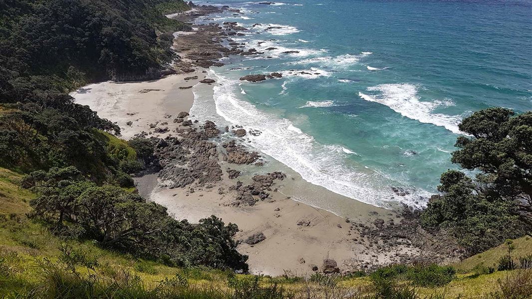
This walk provides breathtaking coastal views that extend from Bream Head in the north down to the Tāwharanui Peninsula in the south. The Coromandel Peninsula and Great Barrier Island/Aotea are often seen on the horizon.
The track starts along the beach, then climbs quite steeply for about 20 minutes to a lookout point. It then winds past ancient pōhutukawa teetering on the sheer slopes before descending to the stony beach below. From here you can walk back along the beach (8 km), but only at low tide. Keep to the marked track as it crosses private property.
Mangawhai is 25 km from Waipū to the north and 26 km from Wellsford to the south.
Access to the track is from the Kaipara District Council car park near the Mangawhai Surf Life Saving Club at the end of Wintle Street.
What to expect
- Track surface: Coastal section is unformed, rough and rocky
- Change to elevation: +/- 115 m
Hazards
- The return loop along the beach is only possible at low tide. Check the Mangawhai Heads tide timetable before you go. If water is surging through the huge rock archway, return via the cliff track.
- There is an ongoing risk of loose and unstable material, particularly along the coastal section.
- Wasps and wasp nests may be present.
You may see New Zealand pigeon/kererū/kūkupa or kākā making an occasional visit from the offshore islands. Local iwi call the New Zealand pigeon/kererū the kūkupa.
Pōhutukawa and nīkau palms feature on this walk.
Interesting rock formations and geology can be seen exposed along the rocky coastal section.
The local iwi Te Uri O Hau are said to have traditionally arrived here on their ancestral waka, Mahuhu Ki Te Rangi, around 1250.
In the 1800s, Chief Te Whai resided here at Manga ‘where the rivers meet’, where the name Manga-Te-Whai comes from.
Nature's in trouble
Thousands of New Zealand’s native species are heading towards extinction. Once they’re gone, they’re gone for good. Nature needs your help.
Stop kauri disease and protect kauri
- Scrub all soil off shoes and gear.
- Use cleaning stations.
- Always stay on the track.
DOC Customer Service Centre
| Phone: | 0800 275 362 |
| Email: | whangarei@doc.govt.nz |
| Address: | Whangārei Office |
