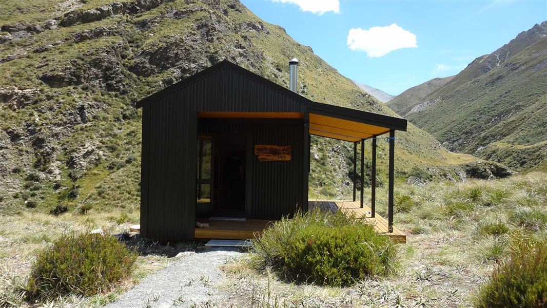
There is no marked track to the hut. The hut can be accessed by following the South Opuha River.
It is a 3 to 4 hour walk to the conservation land and a further 2 hours to the hut. Note that the land on either side of the river below the conservation land is private.
The South Opuha River can be accessed from the bridge on Clayton Road or by unformed legal road from the end of Stoneleigh Road. To use the later please contact Stoneleigh Station.
The hut can also be accessed by helicopter if an appropriate landing permit is obtained.
This is a backcountry hut with no DOC track access. You will need to plan your route and navigate yourself, using aids like a map, compass and GPS. Learn navigation skills.