Department of Conservation | Te Papa Atawhai
https://www.doc.govt.nz/
https://www.doc.govt.nz/
New marine protection
19 new marine protected areas will take effect in the Hauraki Gulf/Tīkapa Moana on 25 October 2025. These areas will contribute to a healthier Hauraki Gulf for future generations.
DOC’s focus this summer is to help people understand the new rules and boundaries. In coming months, boundaries will be updated in the Marine Mate app, on electronic charts and at water entry points.
Introduction
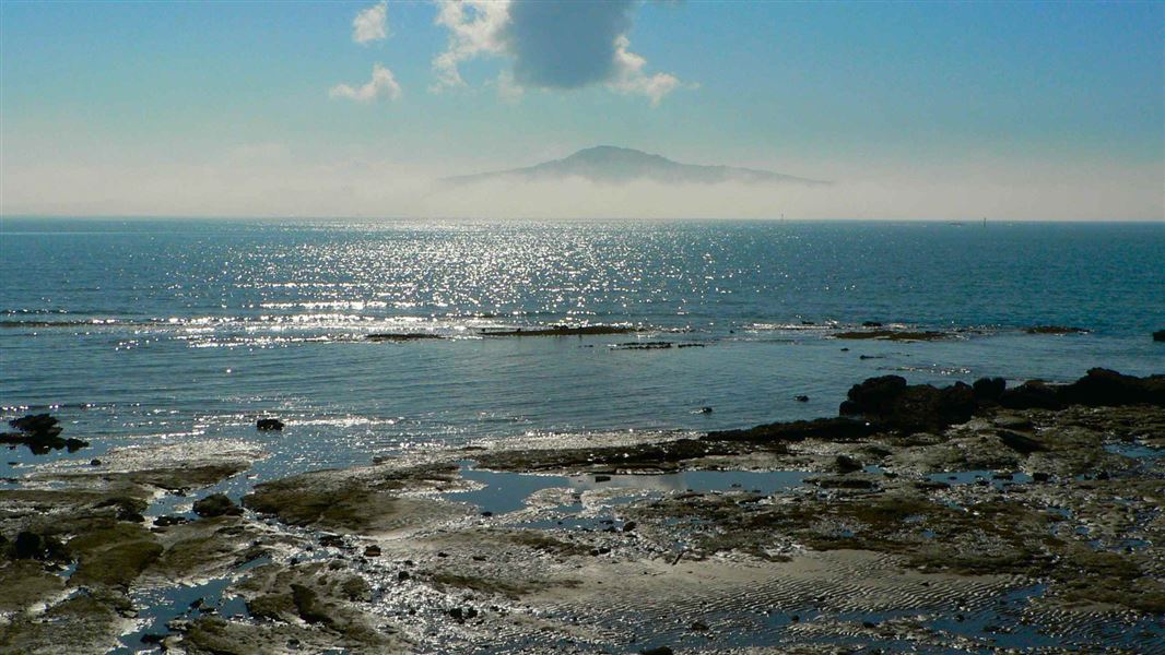
The park covers an area of more than 1.2 million hectares in the Hauraki Gulf/Tīkapa Moana, Waitemata Harbour, Firth of Thames and the east coast of the Coromandel Peninsula.There are more than 50 islands within the park, many of which are public conservation lands and waters.
Follow the rules of visiting Hauraki Gulf Marine Park/Ko te Pataka kai o Tikapa Moana Te Moananui ā Toi. You may also need permits for landing on the islands and holding events there.
Maps and boundaries
Overview map of all Hauraki Gulf/Tīkapa Moana marine protection areas (PDF, 3,727K)
Maps for each protection area including co-ordinates and GPX files for GPS systems
For tide, boundaries and other information on the go, you can download the MarineMate app.
