6 km one way
Image gallery
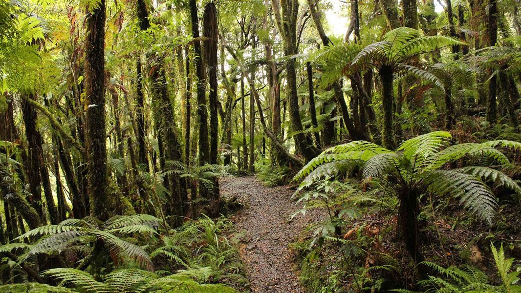
Mangaone Walkway follows an old bush tramway in low hill country east of Waikanae. It was historically known as Reikorangi Track. The southern half follows the Waikanae River through Kaitawa Scenic Reserve, which protects previously milled podocarp forest.
Streams at the southern end are usually easy to ford, but expect to get wet feet. The northern section crosses farmland, following a farm road for part of the distance.
The track is easy and well-formed and suitable for people of most ages and fitness levels.
The track links Mangaone South Road with Mangaone North Road. Mangaone South Road runs off Ngatiawa Road, 8 km south-east from Waikanae. Mangaone North Road runs off Te Horo Hautere Cross Road from Te Horo, 9 km north of Waikanae.
Parking is provided at both ends of the walkway. Arrange transport from the point of exit.
Do not stray from the marked track where it crosses private farmland. Do not disturb stock.
No cycling.
The regenerating forest in Kaitawa Scenic Reserve features spires of rewarewa trees which will eventually be replaced by the original tall canopy trees; rimu, rata, kahikatea, matai, and miro.
Five species of tree fern line the track: katote, wheki, wheki-ponga, ponga, and mamaku. Ground ferns and delicate filmy ferns on tree trunks are also prominent along the track.
Wellington/Kapiti information
| Phone: | +64 3 546 9339 |
| Email: | nelsonvc@doc.govt.nz |
| About: | Whakatū/Nelson Visitor Centre provides visitor information for this area |
