7 km loop
Part of track closed for lambing season between 1 August and 30 September. Access to the gun emplacements is via Mākara Beach during this time.
Image gallery
The track climbs to vantage points with spectacular views, and returning along the beach.
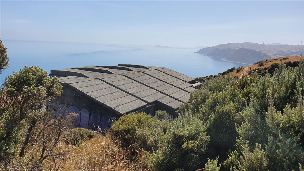
The high cliffs and spectacular views for centuries have provided the people of the area with good vantage points for the defence of their land. A Ngati Ira pa site lies on the promontory at the western end of Fisherman's Bay, and gun emplacements at the top of the cliffs mark the position of Fort Opau, which was garrisoned by 100 soldiers during World War II.
Makara Walkway begins and ends at Mākara Beach, 16 km north of Wellington. The beach is at the end of Makara Road which runs from the south end of Karori Road.
- Carry food and drink. There is no drinkable water on the track.
- Mākara Beach is sheltered from southerly winds, but is very exposed to northerlies. The hilltops are especially prone to gale force winds.
- The concrete rooves of the gun emplacements are in poor condition and could collapse. Keep out of the fenced-off areas.
Wellington/Kapiti information
| Phone: | +64 3 546 9339 |
| Email: | nelsonvc@doc.govt.nz |
| About: | Whakatū/Nelson Visitor Centre provides visitor information for this area |
