Visit Ship Creek area - the ancient kahikatea swamp forest provides a glimpse back in time to what much of the West Coast may have looked like prior to human settlement.
Access this area from SH6 between Lake Paringa and Haast.
The Haast region stretches from Knight's Point in the north to Jackson Bay Okahu in the south and inland to the forest-lined Haast Pass.
Information on The Te Wahipounamu- South West New Zealand World Heritage Area, tracks, accommodation and advice on recreational opportunities in the Haast area can be obtained from the Haast Visitor Centre at Haast.
All native plants, wildlife, natural features and historic sites are strictly protected. Take rubbish away and do not light fires except where facilities are provided at designated camping sites.
Haast is famous for dramatic coastline - the sweeping curves of beaches; rugged cliff tops and rock formations at Knight's Point south of Lake Moeraki.
You can travel through a series of unspoiled natural environments, often in a continuous sequence, from the sea through ancient dunes, lakes and forests of different types, to the dramatic backdrop of the mountain chain dividing east from west. A country so wild and relatively undisturbed that Haast was linked by road to the rest of the West Coast until 1965.
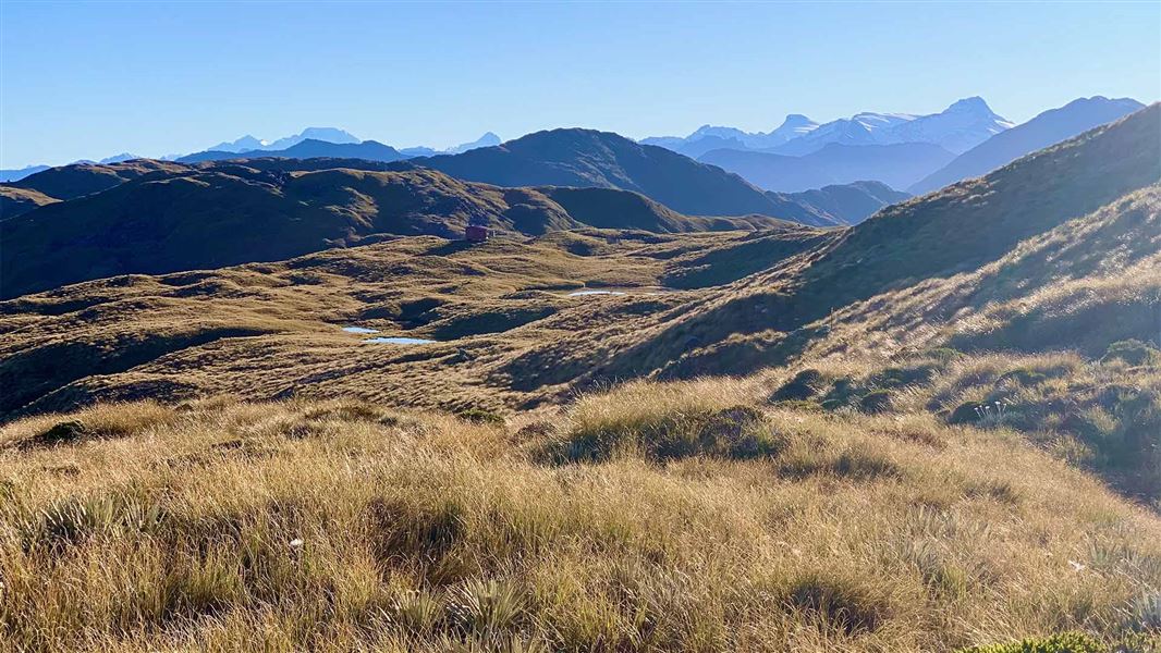
At the extreme end of the road south on the West Coast side is the Cascade Valley. Close to the road end is the Cascade view point that offers views of the markedly different scenery of the Cascade Plateau and the Red Hills.
This glacier-carved landscape lacks the forest that dominates elsewhere in the region. Instead it has a stark barreness due to concerntration of naturally occurring minerals that inhibit plant growth. The abundance of iron in this mineral mix gives rocks the red colour for which the hills are named.
Moeraki Valley area
Vegetation includes an attractive mix of beech, podocarp and hardwood species in the lower reaches, silver beech higher up the valley and a mix of sub-alpine scrub and alpine grassland in the Middle Head Basin.
Keas (mountain parrot) inhabit the higher areas and blue duck can be spotted in the middle valley. The area supports moderate numbers of red deer and brown trout abound in the river.
Jackson Bay Shelter
Interpretation panels tell various stories of the nature and history of Jackson Bay Okahu.
Olliver Grave
Situated on the foreshore at Jackson Bay Okahu near the start of the Wharekai-Te Kou Walk, this is the earliest recorded European grave site on the West Coast.
Arawhata Pioneer Cemetery
Situated between Neils Beach and Jackson Bay Okahu this cemetery is the burial site for some of the first European settlers to come to Jackson Bay Okahu as part of the unsuccessful settlement programme in 1875. The forest has reclaimed most graves with only about 13 sites still discernible. The story of an unsuccessful settlement at Jackson Bay is one of hardship, premature death and unrealised dreams.
Cascade Viewpoint
Situated about 3 km past Martyr Saddle on a hill overlooking the mighty Cascade River, this roadside lookout provides excellent views of the Cascade Valley and the Red Hills. Interpretation panels tell stories about wilderness, past glaciers and highly mineralised rocks. the road is narrow and unsealed.
Knight's Point Viewpoint
Stop here for panoramic views of the wild coastline, rainforest and ocean. Seals are often seen in the distance on the beach at Arnott Point. Information panels tell of the landforms, early travellers, the sea and marine mammals.
Awarua/Haast Visitor Centre
| Phone: | +64 27 303 4890 |
| Email: | haastvc@doc.govt.nz |
| Address: | Haast Junction Corner SH6 and Jackson Bay Road Haast 7886 |
| Hours: | Visitor centre hours and services |
