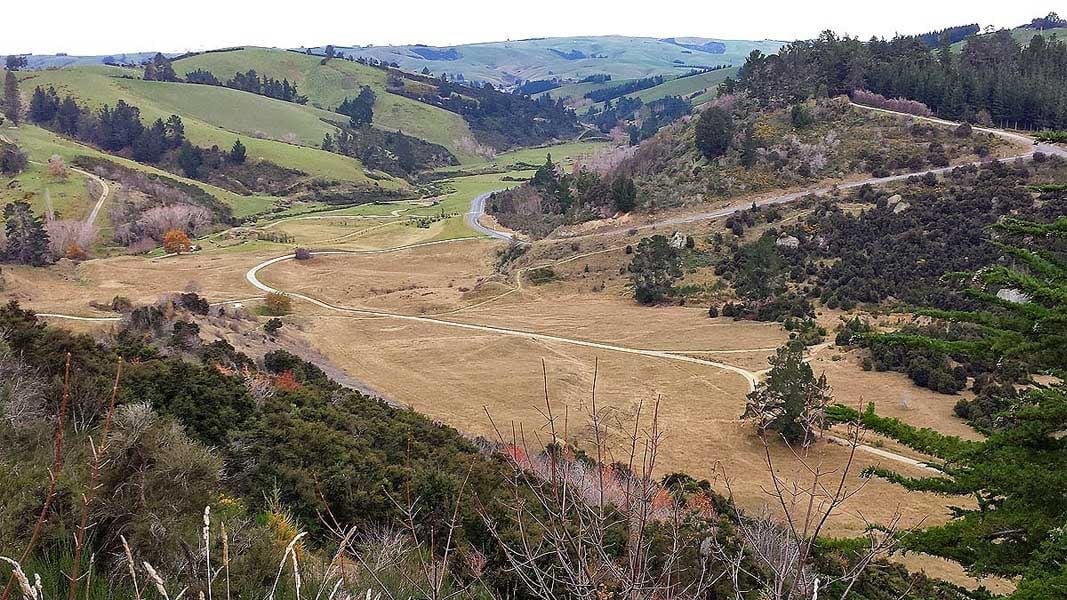
From the carpark follow the track up the hill to traverse a fault scarp (an exposed fault line unearthed by mining in the gully) and follow several water races uphill. You will pass the site of a raceman's cottage, Pollands Dam and a rusty sluice pipe.
Water was piped in from as far afield as Waipori and stored in the many dams in the area to rush through the water races and sluice pipes operated by the racemen to blast the rock faces for gold.
The track then descends the face providing views across the gully, to the elevator pond and beyond to the tent sites of hundreds of miners during the rush and later of the mine office.
You will then enter the regenerated manuka forest and wander amongst remnant stacks of conglomerate (gold bearing) rock before crossing an open paddock to an intersection.
From here you can turn right to visit the remains of the North of Ireland stamper battery or turn left to visit another dam and walk through the forest to the Great Extended Mine shaft.
After seeing the mine shaft wander back to the carpark through a gully and past the mines rusty safe which still remains on site. The gully has visible remains of claim intersection stacks, the piles of conglomerate each miner left to ensure they did not upset their neighbour.
Greys Dam picnic area
Drive or ride past the turn off to Gabriels Gully carpark to reach Greys Dam. The still water of the dam reflects the vibrant colour of the surrounding vegetation, providing a great backdrop for picnics on one of the picnic tables or games of backyard cricket in the picnic area.
This calm seemingly gentle dam once provided hydraulic pressure to shift entire hillsides.
Otago Dam Track begins at Grays Dam.
Start from the Gabriels Gully carpark. Gabriels Gully is 3 km from the township of Lawrence, 92 km south-west of Dunedin on SH8.
DOC Customer Service Centre
| Phone: | 0800 275 362 |
| Email: | dunedinoffice@doc.govt.nz |
| Address: | Ōtepoti / Dunedin Office |
