- One of the most dramatic harbour entrances in Aotearoa New Zealand.
- Spectacular view from the Bluff lookout to Te Whara/Bream Head, Taranga and the Marotere islands (Hen and Chicken islands).
- Fitness required: Moderate
- Gradient: Steep climb with many steps
4 km return via same track
Image gallery
Video
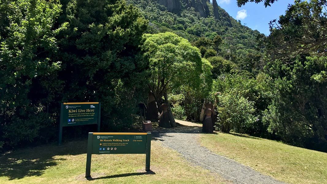
The track leads you under nīkau palms and kauri stands with glimpses of northern rātā hanging from pōhutukawa among a cluster of jagged bush-covered peaks.
As you climb towards the summit of Mount Manaia, 420 m above sea level, the gradient gets steeper and the views get more impressive.
There is a natural rock lookout at the end of this track, which has limited space and no safety barriers. There is a big drop at the edge and a fall could be fatal. Stay away from the edge, keep children close to you and supervise them carefully, and take extra care in wet and windy weather.
Mount Manaia is a wāhi tapu (sacred place) for Ngātiwai and other iwi and hapū (sub-tribes) in Northland. Respect the area and keep to the marked tracks. It is also important to stay on the track to protect kauri from kauri dieback disease and to avoid steep drops.
Mount Manaia is 28 km east of Whangārei. Park in the Mount Manaia Club’s lower car park on Whangārei Heads Road above McLeod Bay. The track begins just above the car park.
What to expect
- Track surface: Mix of wide gravel path and wooden steps
- Change in elevation: +/- 324 m
Hazards
- The natural rock lookout on this track has no safety barriers and limited available space – stay well away from the drop-offs and supervise children.
- Extra care should be taken in wet and windy conditions due to exposed nature of rock lookouts.
Drones
Recreational drone use is not allowed.
Mount Manaia is the tūpuna/ancestor and chief of Ngātiwai and many Iwi and hapū (sub-tribes) of not only Whangārei, but the Northland region. The craggy peaks represent his family who were turned to stone through karakia (ritual chants) in a dispute over the infidelity of his wife.
Nature's in trouble
Thousands of New Zealand’s native species are heading towards extinction. Once they’re gone, they’re gone for good. Nature needs your help.
Stop kauri disease and protect kauri
- Scrub all soil off shoes and gear.
- Use cleaning stations.
- Always stay on the track.
DOC Customer Service Centre
| Phone: | 0800 275 362 |
| Email: | whangarei@doc.govt.nz |
| Address: | Whangārei Office |
