Forestry operations in the area can close roads into Mount Richmond Forest Park. Check the status of roads into Mount Richmond Forest Park.
Check road conditions
Severe weather has damaged many roads in Marlborough and Kaikoura. Before you travel to our facilities, check the latest road updates:
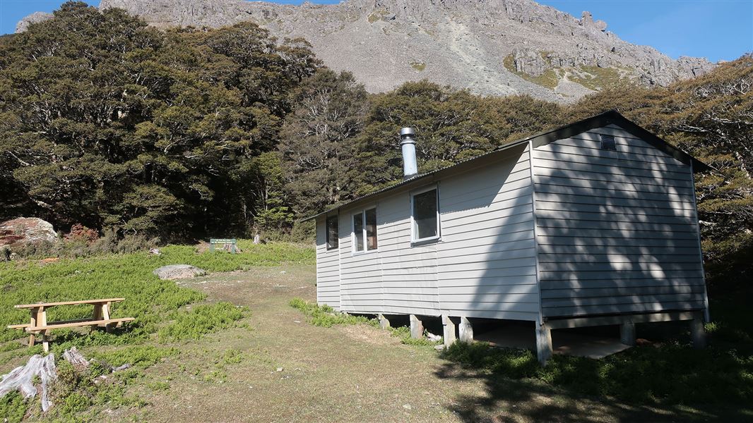
Richmond Saddle Hut sits in the saddle west of Mt Richmond (1760 m), east of Grass Knob (1495m) and at the head of Armchair Stream. It was built in 1968.
Fees
- Adult (18+ years): $15 per night
- Youth (5–17 years): $7.50 per night
- Child/Infant (0–4 years): free
Before you go, buy a hut ticket online for each night's stay. You can print or display the digital ticket on your device, or write down the ticket and confirmation numbers to take with you. You can also buy a Backcountry Hut Pass that allows you to stay at non-bookable DOC huts for a 12 month period.
Nearest road end to Richmond Saddle Hut
Jacksons Creek Road: 4 hr (6.7 km)
4.9 km north of Renwick, just over the Wairau River bridge, turn off SH6 onto Northbank Road. Follow this for 33.1 km then turn into Top Valley Road. Jacksons Creek Road turns off Top Valley Road. A 4WD vehicle is recommended for Jackson Creek Road.
The marked track follows the prominent ridge.
Mt Fell Hut to Richmond Saddle Hut
Mt Fell Hut: 4 hr (5.2 km)
From Mt Fell Hut there is a 10 minute walk up towards the ridge. Follow the poled route along the ridge, this will then lead to a sidle under Johnstons Peak and through Devils Armchair to Mt Richmond. Parts of the climb to Mt Richmond will be rocky and steep as with the descent of 560 m from the summit to Richmond Saddle Hut.
From Richmond Saddle Hut: Mt Richmond summit
1 hr (1.8 km)
A 560 m climb to the summit of Mt Richmond offers guaranteed amazing views on a fine day. There is a wide variety of alpine plants amongst the snow tussock above the timberline and, although most are small and inconspicuous, mountain daises and gentians are common and generally obvious.
Tracks to this hut
-
Duration: 2 days Difficulty: Expert
Location
NZTopo50 map sheet: BQ26
Grid/NZTM2000 coordinates: E1631971, N5408581
Nelson/Tasman/Marlborough information
| Phone: | +64 3 546 9339 |
| Email: | nelsonvc@doc.govt.nz |
| About: | Whakatū/Nelson visitor services provide information for this area |