15 km loop
St James Homestead to Peters-Edwards track junction
Walking time: 2 hr 30 min
Distance: 7 km
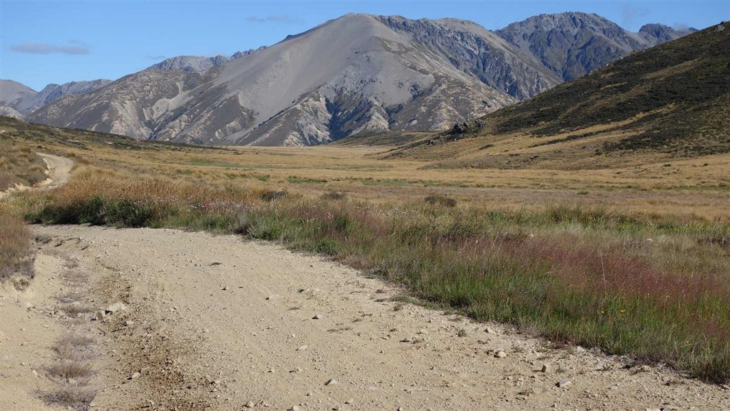
From the St James Homestead, head up the valley to Peters Pass where a great picnic spot overlooks Waterfall Stream. Follow the trail until it intersects with the Edwards valley 4WD track.
Peters-Edwards track junction to Tophouse Road
Walking time: 1 hr 30 min
Distance: 4.2 km
Head east (right) down the 4WD track to connect with Tophouse Road.
Tophouse Road to St James Homestead
Walking time: 1 hr
Distance: 3.4 km
From Hanmer Springs take Clarence Valley Road over Jacks Pass to connect with Tophouse Road (about 13 km from Hanmer Springs). This road follows the eastern boundary of St James Conservation Area.
While access into St James is relatively easy, this remains a remote backcountry area. There is no cell phone coverage. Before your trip ensure you have:
- Checked the latest forecast
- Left your intentions with someone
- A PLB (personal locator beacon) or mountain radio
- Enough warm clothing to spend the night out if you have to.
Stay safe in the outdoors
- Choose the right trip for you. Learn about the route and make sure you have the skills for it.
- Understand the weather. Check weather forecasts.
- Pack warm clothes and extra food. Check gear lists.
- Share your plans and take ways to get help. Leave your intentions with a trusted contact and take a distress beacon.
- Take care of yourself and each other.
Arthur's Pass National Park Visitor Centre
| Phone: | +64 3 318 9211 |
| Email: | arthurspassvc@doc.govt.nz |
| Address: | 104 West Coast Road Arthur's Pass 7654 |
| Hours: | Visitor centre hours and services |