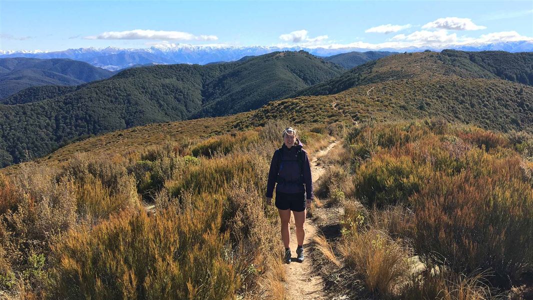
From the picnic area follow Summit Track up a steep ridge to the summit of Mt Thomas.
Come back the same way or return to the car park via either Ridge Track or Wooded Gully Track.
This track starts from the Wooded Gully camping and picnic area.
From Oxford, follow Ashley Gorge Road for 13 km to Glentui. Continue on Birch Hill Road for 6 km then turn into Hayland Road and follow this for 4 km to the end.
Birch Hill Road can also be accessed from Rangiora via Loburn.
NZTopo50 map sheet: BW23 (Cust)
You will need to ford a small stream close to the beginning of the track when walking in a clockwise direction, as the bridge has been removed.
Wasp populations reach high numbers from January to March – wear light-coloured clothing and carry antihistamine cream/tablets as a precaution.
Possum trapping is taking place here
Possum trapping using leg-hold traps is taking place in this area. Ensure your dog is on a leash and under control on this track to keep them safe.
Possum trapping is allowed by permit only. Leg-hold possum traps must be a minimum of 50 m from the track.
Arthur's Pass National Park Visitor Centre
| Phone: | +64 3 318 9211 |
| Email: | arthurspassvc@doc.govt.nz |
| Address: | 104 West Coast Road Arthur's Pass 7654 |
| Hours: | Visitor centre hours and services |