Ridge Track starts at the campground end of Wooded Gully picnic area. Follow the forestry road uphill for about 800 m to where the turn-off to the track is signposted.
Follow the ridge up to the junction with Bob's Camp Bivouac Route (2 hr 30 min). This is the highest point of the ridge before it heads in an easterly direction to Mt Thomas summit (1 hr).
Wooded Gully Track and Summit Track branch off this track and you can take either back to the picnic area.
These tracks start from the Wooded Gully camping and picnic area.
From Oxford, follow Ashley Gorge Road for 13 km to Glentui. Continue on Birch Hill Road for 6 km then turn into Hayland Road and follow this for 4 km to the end.
Birch Hill Road can also be accessed from Rangiora via Loburn.
NZTopo50 map sheet: BW23 (Cust)
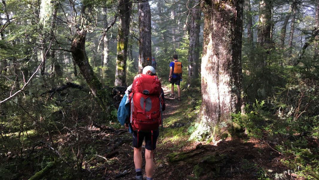
You will need to ford a small stream close to the beginning of the track when walking in a clockwise direction, as the bridge has been removed.
Wasp populations reach high numbers from January to March – wear light-coloured clothing and carry antihistamine cream/tablets as a precaution.
Possum trapping is taking place here
Possum trapping using leg-hold traps is taking place in this area. Ensure your dog is on a leash and under control on this track to keep them safe.
Possum trapping is allowed by permit only. Leg-hold possum traps must be a minimum of 50 m from the track.
Stay safe in the outdoors
- Choose the right trip for you. Learn about the route and make sure you have the skills for it.
- Understand the weather. Check weather forecasts.
- Pack warm clothes and extra food. Check gear lists.
- Share your plans and take ways to get help. Leave your intentions with a trusted contact and take a distress beacon.
- Take care of yourself and each other.
Arthur's Pass National Park Visitor Centre
| Phone: | +64 3 318 9211 |
| Email: | arthurspassvc@doc.govt.nz |
| Address: | 104 West Coast Road Arthur's Pass 7654 |
| Hours: | Visitor centre hours and services |